History of the original Streets in Port Moresby
Originally the plans for the Streets of Port Moresby were drawn up in July and August 1886. The original name of the town was Granville West but the town is more commonly known after the name of the Port. Granville East was the name given to where the residence of the Governor General is.
Granville West - original streets
Name |
Named After |
Misc info |
d'Urville Street |
Captain James Dumont d'Urville |
Explored PNG coast in the Astroblabe in 1829 |
Kermadec Street |
Huon de Kermadec |
A frenchman and colleague of D'Entrecasteaux |
Champion Parade |
Herbert W Champion |
Govt officer from 1902 - 1942 |
Bampton Street |
Captain William Bampton of the East India Company |
British Naval Officer and explorer - Master of the "Shah Hormuzeer". |
Chesterfield Street |
A ship of the East India Company |
Named after one of Bampton and Alt's ships - the Master of the Chesterfield was Matthew B. Alt. |
Hunter Street |
? |
? |
Spring Garden Roadd |
Named after springs nearby |
Now connects to the other side of Burns Peak via the Poreporena Freeway |
Cuthbertson Street |
Walter R Cuthbertson |
Surveyor |
Musgrave Street |
? |
? |
Douglas Street |
? |
? |
|
|
|
click here for the suburbs of Port Moresby
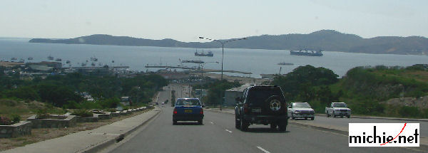
The Poreporena freeway links the Airport (at Seven Mile) and Waigani to Down Town POM. There are three ways to get into downtown Port Moresby 1) via Three Mile Hill, 2) via Gerehu and 3) the Poreporena Highway. The freeway runs from just near the Jackson's airport right through to town passing close to Hanuabada.

Travelling down the Poreporena Freeway (almost at Konedobu / Spring Garden Road)
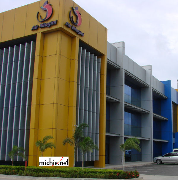
Air Niugini has an office alongside the Poreporena freeway at Waigani.

PX Office at Waigani 2014

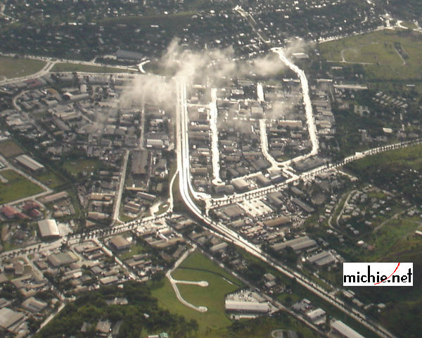
Poreporena Freeway at Waigani (top of image is Courts / Boroko FoodWorld (at Waigani) Roundabout)
Top left is Kennedy Road
|

